Apple Maps gets transit mode for Paris
April 24, 2017 at 01:01 AM EDT


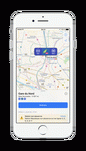

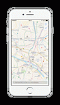
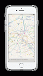

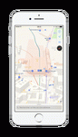

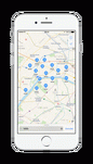


Apple is finally adding transit options to its Maps app for the city of Paris. Starting today, you can use Apple Maps to calculate itineraries using public transportation. You’ll find subway, RER and bus lines, and even Transilien lines. Just like in Google Maps, you can look around the map with a new subway layer or you can calculate an itinerary from A to B. If you tap on a station,… Read More
